Description
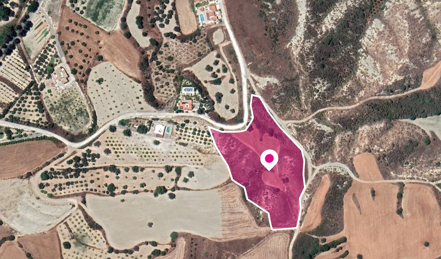
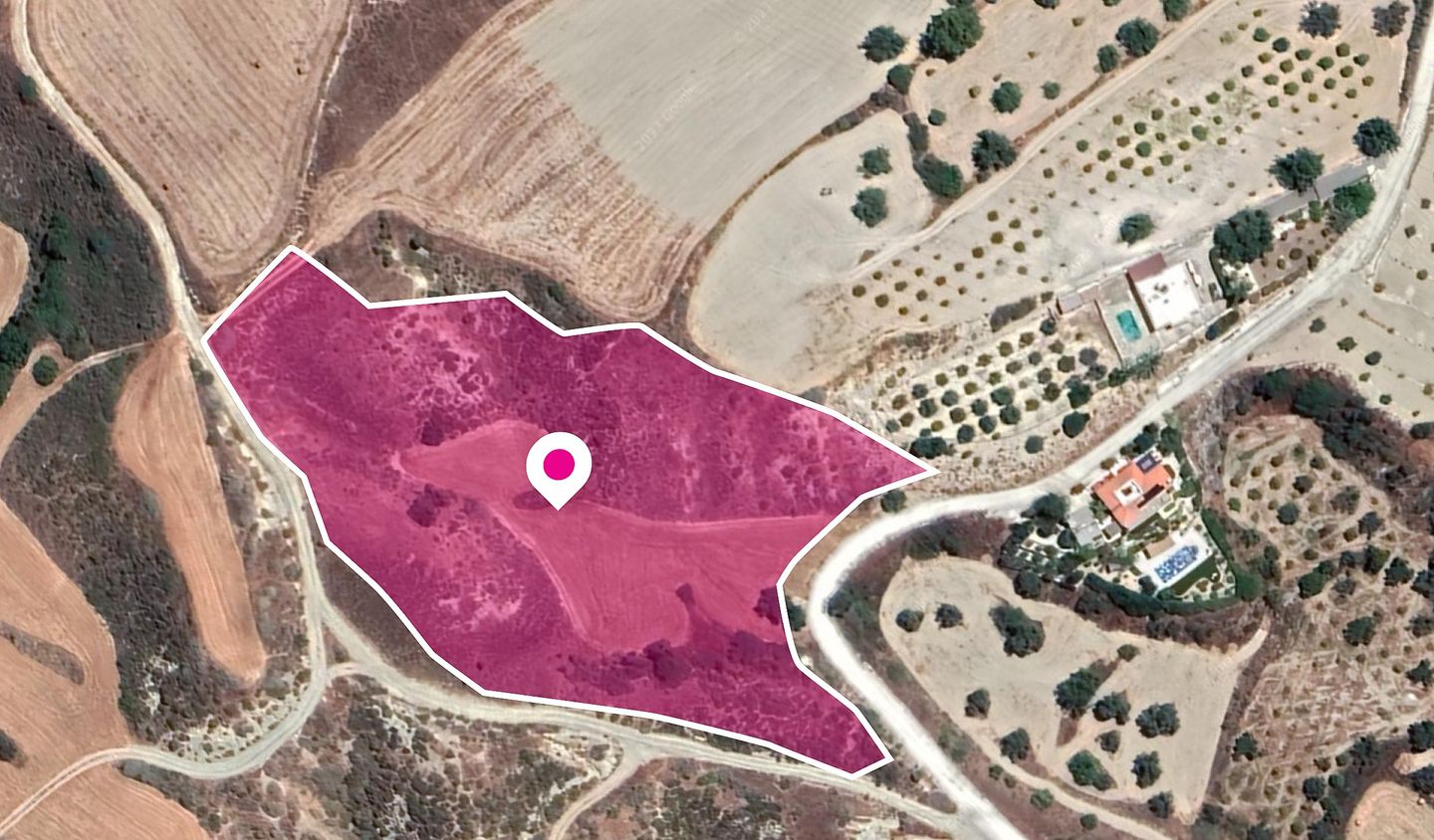
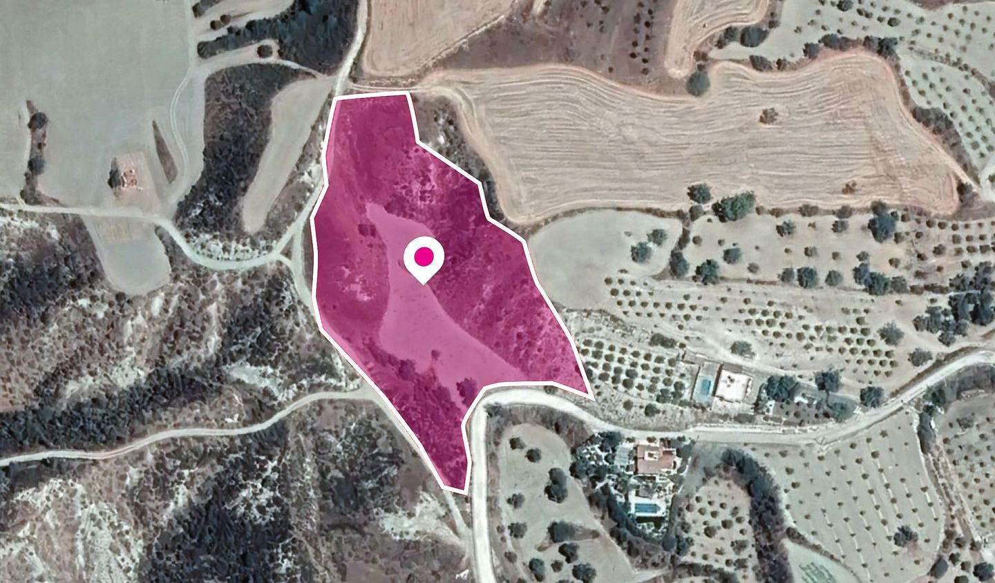
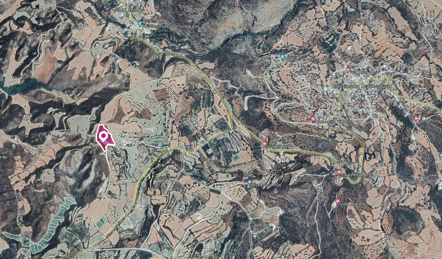
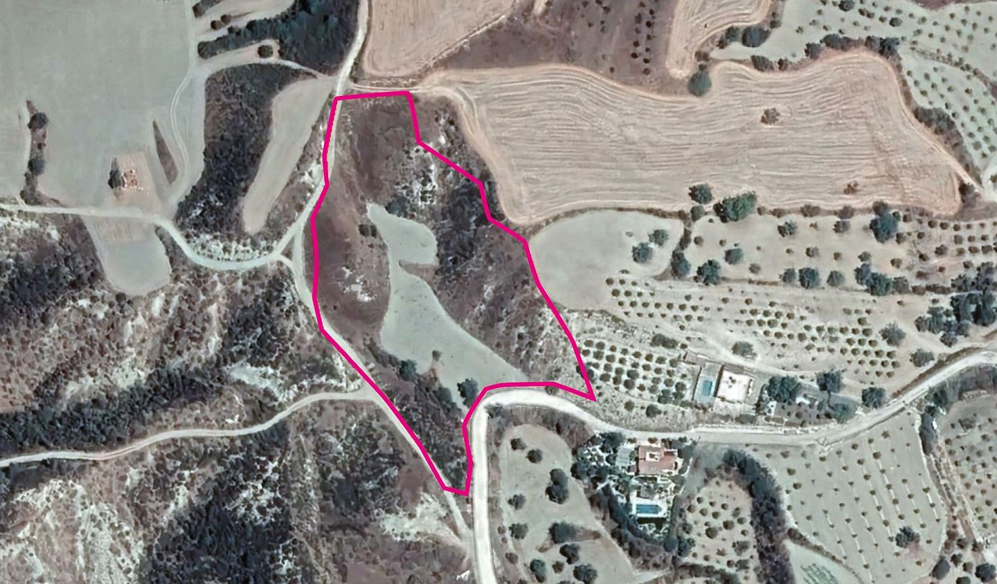
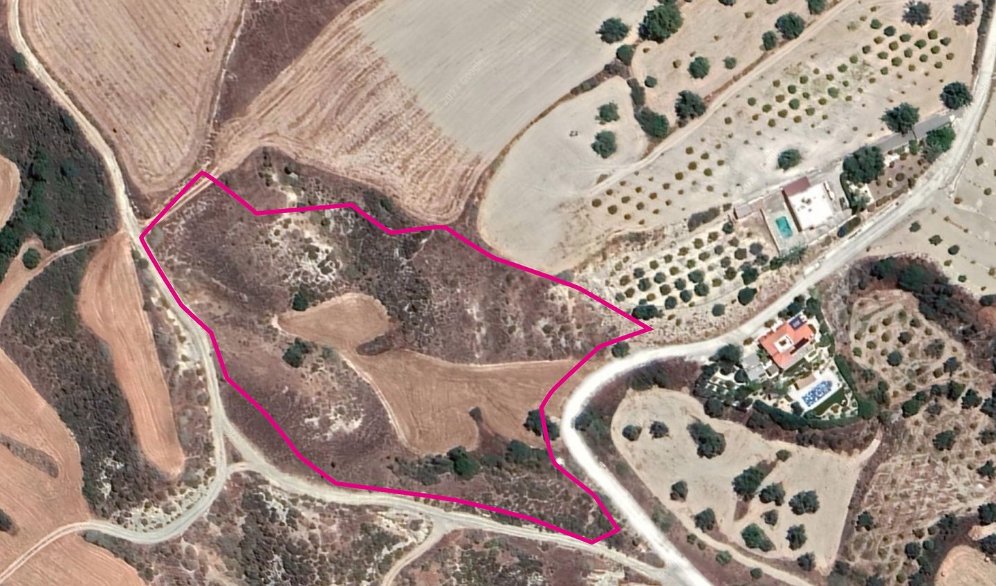
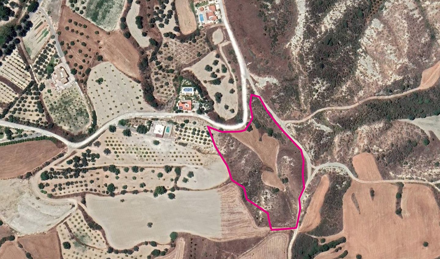
This agricultural field covers a total land area of 15051 sq.m and is situated approximately 1.8 km northwest of the village center. Access to the property is provided via a registered dirt road located on the southern side of the property. andlt;br /andgt; The surface of the field is irregular and features three borders that are characterized by a slope. It falls under planning zone Γ3 with a building coefficient of 10%, coverage of 10%, and the possibility to build up to two floors of 8.3 meters. The property is surrounded by empty agricultural blocks and sporadic residential developments.andlt;br /andgt; Location Coordinates: 34.989192, 32.469202
Details
Updated on February 15, 2025 at 5:20 am- Property ID: S5708
- Price: €35,000
- Property Type: Field
- Property Status: For Sale
Mortgage Calculator
- Down Payment €7,000.00
- Loan Amount €28,000.00
- Monthly Mortgage Payment €132.78

